


Panosphere 360 Virtual Tour Montreal
Your buildings, as a digital twin.
Enhanced Matterport virtual tours, Google Street View, 3D surveys and drone for institutions, municipalities, businesses and contractors across Quebec.

★★★★★ 46 Google reviewsOver 1,000 tours published on Google Maps since 2015
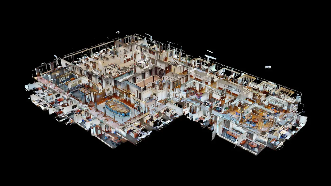
They trust us with their buildings



















1,000+
tours published on Google Maps since 2015
24–48 h
from capture to the tour online, in most cases
46
±20 mm
Matterport Pro3 accuracy at 10 m (per Matterport)
One capture, dozens of uses
Our services, from 3D tours to BIM surveys.
Google and visibility
Be found on Google Maps and convert right from your Business Profile.
4 services →Condition reports, insurance and proof
Dated 3D proof, before and after.
- Pre-construction condition report
- 3D before-and-after comparison
- Pre-loss inventory
- 3D loss documentation


Enhanced tours and branding
Tours that speak for themselves.
A silent tour doesn’t tell you where to look. We place the information exactly where it applies, in a design that matches your brand.
- ◆Information tags with photos, videos, PDFs and links
- ◆A menu in your colours, bilingual, with no third-party logo
- ◆Aerial drone views built into the tour
- ◆Your team updates the tags itself; the address never changes


3D surveys and BIM
As-built surveys, without tying up your team.
For architects, engineers, contractors and property managers: files ready for your software, at a fraction of the cost of a traditional survey.
- ◆E57 point cloud for ReCap, Revit, AutoCAD
- ◆LOD 200 Revit model and DWG drawings
- ◆Construction progress at every milestone, before the walls are closed
- ◆An honest comparison: when the Pro3 is enough, and when you need a laser scanner

Google Street View
Be found on Google Maps.
Your interior published on your Business Profile and on Google Maps, where your customers are already searching. Over 1,000 tours published on Google Maps since 2015.
- ◆Indoor tour published on your Google Business Profile
- ◆Outdoor mapping: parks, trails, campuses
- ◆Captured the same day as your 3D tour if needed
Tours to explore
Click, and you’re there.
Real tours from our clients, loaded on click: walk around, open the tags, switch to the dollhouse view.
Industries
A solution designed for your line of work.

- ◆Inaugurate a building before it opens
- ◆Document the property portfolio for calls for tenders
- ◆Showcase parks, halls and trails
References: City of Candiac, City of Gatineau, Quebec Ministry of Transport


Case study
Atelier 25, City of Candiac
The new municipal garage presented to residents from opening day: Matterport and drone capture, a menu in the City’s colours, and a communications team that manages its own information points.
- 37
- locations in a 6-section menu
- 76
- information points managed by the City
- 3
- aerial drone views
Portfolio
Over 1,000 places, from rest areas to dams.
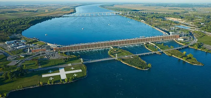
Hydro-Québec
Beauharnois dam
3D Matterport tour · Beauharnois
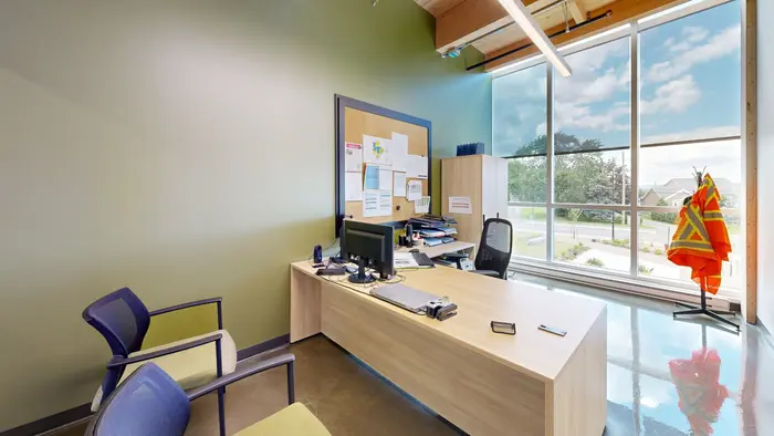
City of Candiac
Atelier 25, public works
Enhanced tour and drone · Candiac
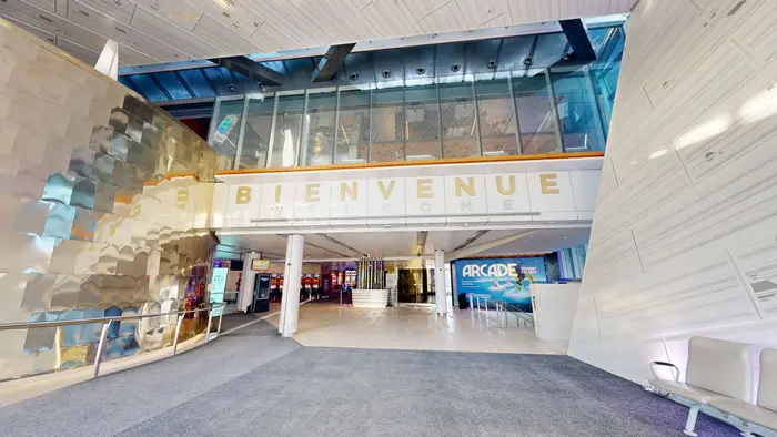
Loto-Québec
Casino de Montréal
Branded 3D tour · Montreal
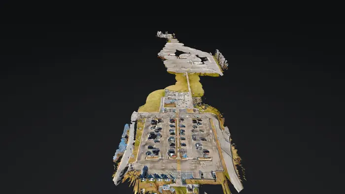
Quebec Ministry of Transport
Rest areas on Highways 20 and 40
3D survey · Hwy 20 and 40
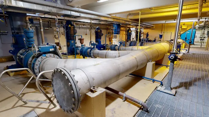
City of Gatineau
Drinking water treatment plant
Documented 3D tour · Gatineau
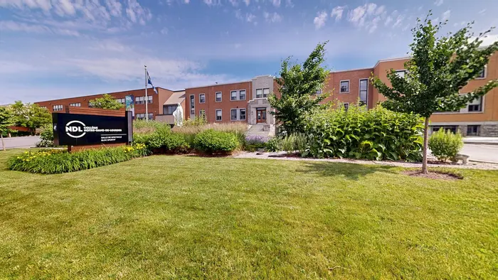
Collège Notre-Dame-de-Lourdes
Campus and Théâtre de la Providence
Enhanced tour, 41 tags · Longueuil
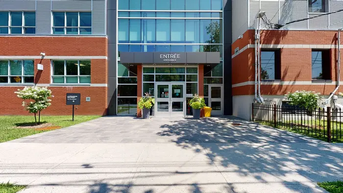
CMC Surgical Complex
Metropolitan Surgery Centre
3D Matterport tour · Montreal
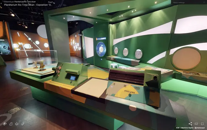
Rio Tinto Alcan Planetarium
Espace pour la vie
3D Matterport tour · Montreal
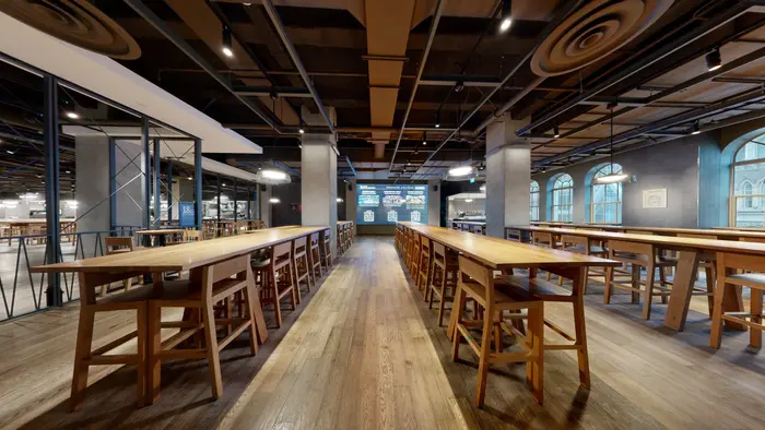
Time Out Market
Eaton Centre
3D Matterport tour · Montreal
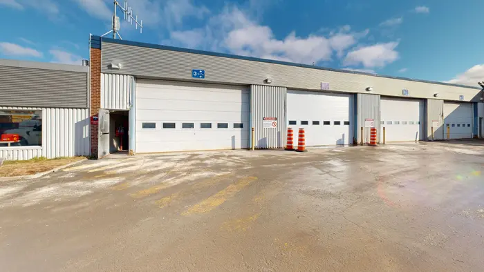
CGER, Quebec Ministry of Transport
Laval service centre
3D survey · Laval
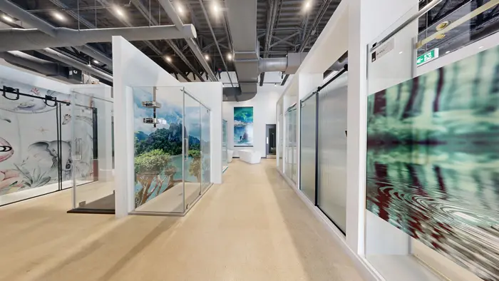
Les Produits Zitta
Showroom
Enhanced tour, 102 tags · Quebec City
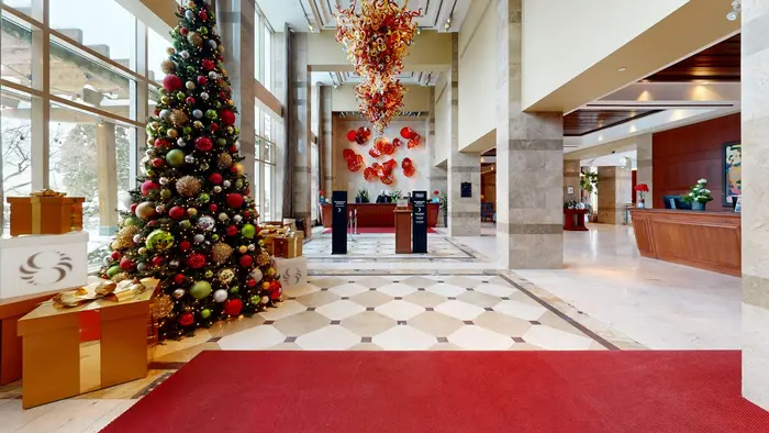
Hilton Lac-Leamy
Lobby, meeting and banquet rooms
3D Matterport tour · Gatineau


In the field
A Pro3 camera, a tripod and a lot of steps.
Hospitals, campuses, concert halls, public markets, business jets (Bombardier): every place is captured by Marc Durand Bréard, photographer and drone pilot.


How it works
Four steps, no surprises.
01
30-minute call
We look at your drawings or Google Maps together and settle the area, the deliverables and the options. Written quote within 24 hours.
02
On-site capture
Matterport Pro3, 360 camera and drone depending on the project, without interrupting your operations. Faces and documents blurred.
03
Branding and deliverables
A menu in your colours, information tags, floor plans, technical files. You approve, we adjust.
04
Online and up to date
Hosting, training your team on the editor, analytics. Your tour keeps the same address forever.
★★★★★
46 Google reviews, 5.0 rating.
Read the reviews on Google★★★★★
“Marc answered my call, answered my questions and made himself available on short notice to produce our 360 virtual visit. The result is outstanding and I highly recommand him for his professionalism and his attention to details.”
Patrick St-Arnaud
Google review
★★★★★
« Marc Durand Bréard est un professionnel, la qualité et la rapidité du travail accompli fut exceptionnel. Nous recommandons cette entreprise sans aucune hésitation. »
Domo Prestige Chambly
Google review
★★★★★
« Nous avons mandaté Panosphere 360 pour créer une visite virtuelle de notre boutique de laine et tissus et nous avons été enchanté par le résultat !! Merci beaucoup à l'équipe de Panosphere 360 Visite Virtuelle pour votre excellent service !! »
Louise Robert (Biscotte)
Google review
★★★★★
“Had an excellent experience dealing with Marc and having a 360 version of your business is honestly more fun than it should be :P Hard to know if there's SEO impact from having this but it can't hurt and the price is very reasonable for the service.”
Dawson Woods
Google review
★★★★★
« Faire confiance à Panosphere 360 Visite Virtuelle pour la visibilité de votre commerce! Un accompagnement et un service A-1 en plus d'une qualité exceptionnelle des images de votre entreprise. Un investissement qui en vaut la peine :) »
Chantal Renaud
Google review
★★★★★
« Marc a ses clients à coeur et est toujours à l'affût des nouvelles technologies. C'est un des photographes les plus actifs de la communauté Google. Fortement recommandé! »
Olivier Savard
Google review
★★★★★
« Super service personnalisé et courtois tout ça fait dans une ambiance plus que sympathique et rapide. Merci Marc pour ce service de qualité supérieur! »
La Bécane Bike shop
Google review
★★★★★
“Especially during pandemic, but even before or after the Matterport virtual tour is highly recommended for nice apartments. Professional well lit photography really helps. They, also, included still photographs, and a 1 minute video tour (small extra charge) which is great for posting to YouTube and linking to your website.”
Norm BDS
Google review
★★★★★
« Nous sommes enchantés par le service de Panosphere360. Marc le photographe a fait du superbe travail! Merci de l'équipe de Zone Détente Spa Urbain! »
Lucie Bienvenu
Google review
Virtual tours in Montreal and across Quebec
What to know before you choose.
A 360 virtual tour lets people explore a place remotely, as if they were there: they move from point to point, look in every direction and zoom in on the details. Panosphere 360 has been producing them since 2015 for businesses, institutions, municipalities and real estate, in Montreal, on the South Shore and across Quebec.
Google tour or Matterport 3D tour?
A Google virtual tour is made of linked 360 panoramas published on Google Maps and on your Business Profile: it is the tool for being found by people looking for a store, a daycare or a hotel near them. A Matterport 3D virtual tour, captured with the Pro3 camera, adds a 3D model of the building, the floor plan view and measurements: it is the tool for presenting, documenting and showing a complex place. Many clients combine both, captured on the same day.
The Matterport 3D virtual tour →Where your tour is seen
Once online, the same tour works everywhere: on Google Maps and in search results, on your website, on your social media, in your real estate listings or in an email to a client. It opens on a computer, phone or tablet, with no app to install, and keeps the same address forever, even when you update its content.
Web integration and distribution →A tour that stays up to date
Your tour is not frozen: on request, your team gets access to the Matterport editor to add its own information tags, labels and links, with a one-hour training session. The branding (a menu in your colours, bilingual, with no third-party logo) can be updated without changing the tour’s address.
Enhanced virtual tours →Who it is for
Stores and restaurants that want to stand out on Google Maps; brokers and owners who sell or rent; schools, daycares and residences that welcome families; municipalities and ministries presenting their facilities to residents; property managers, architects and contractors who need an as-built survey. Each industry has its own uses, examples and deliverables.
See the industries →Virtual tours for business →Timelines, prices and travel
After a 30-minute call, you receive a written quote within 24 hours. The tour is online 24 to 48 hours after the capture in most cases. The price depends mainly on the area and the options; it is published, with a calculator, and one year of hosting is included. We capture in Montreal, Laval, on the South Shore (Boucherville, Longueuil, Brossard) and across Quebec: sites on the same regional trip share the travel costs.
See pricing →Frequently asked questions
What we get asked before signing.
How much does a 3D virtual tour cost?+
The price depends mostly on the area and the deliverables (branding, drone, floor plans, technical files). Our prices are public: estimate your project in one minute on the Pricing page, then we confirm in writing.
Matterport or Google Street View?+
Google to be found on Maps and on your Business Profile (shops, daycares, hotels). Matterport to document, measure and brand a building (institutions, job sites, campuses). The two are often captured the same day.
Can I edit the tour myself?+
Yes. On request, your team gets access to the Matterport editor ($150 per year) to add its own information tags, labels and links without waiting for us. A one-hour training session is included.
Who owns the tour?+
The photos and the delivered files are yours. The tour is hosted in our Matterport account, with one year of hosting included; after that, from $150 per year. If hosting isn’t renewed, the tour is archived, not deleted.
Do you travel outside the Montreal area?+
Across Quebec, in French and English. Sites on the same regional trip share the travel costs.
How soon is the tour online?+
In most cases, 24 to 48 hours after the capture. Projects with custom branding, floor plans or technical files have their own timeline, stated in the quote.
Does the tour work on mobile and on my website?+
Yes. It opens in any browser, on a computer, phone or tablet, with no app to install. We give you the embed code for your website, and the link can be shared on social media or by email.
Do we have to close during the capture?+
No. We schedule the capture with you, often outside busy hours, and move room by room without interrupting your operations. Faces and visible documents are blurred before the tour goes online.
Who does the capture?+
Marc Durand Bréard, founder of Panosphere 360, 360 photographer and certified drone pilot, has captured every location himself since 2015: over 1,000 tours published on Google Maps, and Matterport Service Partner status.
Let’s talk about your building.
A 30-minute video call to assess your project together, then a detailed quote. Marc Durand Bréard, photographer and drone pilot.